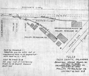
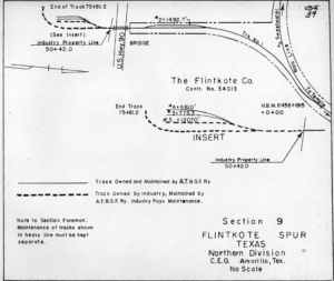
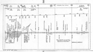
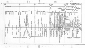
The drawings on this page are of track charts and junctions that can be found in the Temple Archives. These are just a very small sampling of the track charts, industry tracks and junction records in the Temple Archive. The track charts on this page are all of medium-to-large yards. To see the full-size image, click on the thumbnail.
Track Charts. These track charts are circa 1950-1951.
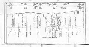
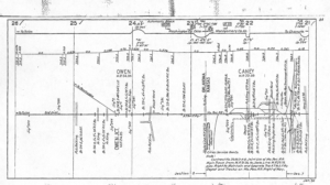
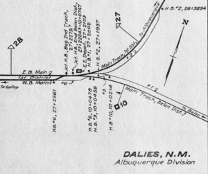
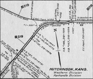
Junction Records. These junction records date from the mid-1930s. One record from each Grand Division is presented. To see the full-size image, click on the thumbnail.

Joint Facilities Records. Joint Facilities Records are in two forms. There is a listing or an index, which is covered in Santa Fe company documents, and a line map. The maps show the track layout and/or buildings in relation to Santa Fe tracks, the contract number, and and who is responsible for maintenance in each part of the facility. A small sample of these records is shown here. To see the full-size image, click on the thumbnail.
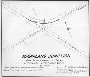
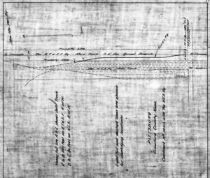
Industry Tracks Records. Industry Track Records are also in two forms. There is a listing which is covered in Santa Fe company documents (Western Lines) or an index (Eastern Lines and Gulf Lines) and there is a line map. The Coast Lines listed the industry tracks as a table as a part of the Side Track Records. The line map was an appendix to the contract governing the industry track. The records were maintained by the division engineer and kept up to date. The Eastern and Western Lines maintained the maps for each industry or spur. The Gulf Lines maintained maps of all industries in an area. The maps show the track layout in relation to Santa Fe tracks, often a footprint of the industry or industries, the contract number, and who is responsible for maintenance for each part of the track structure. A small sample of these records is shown here. To see the full-size image, click on the thumbnail.
